
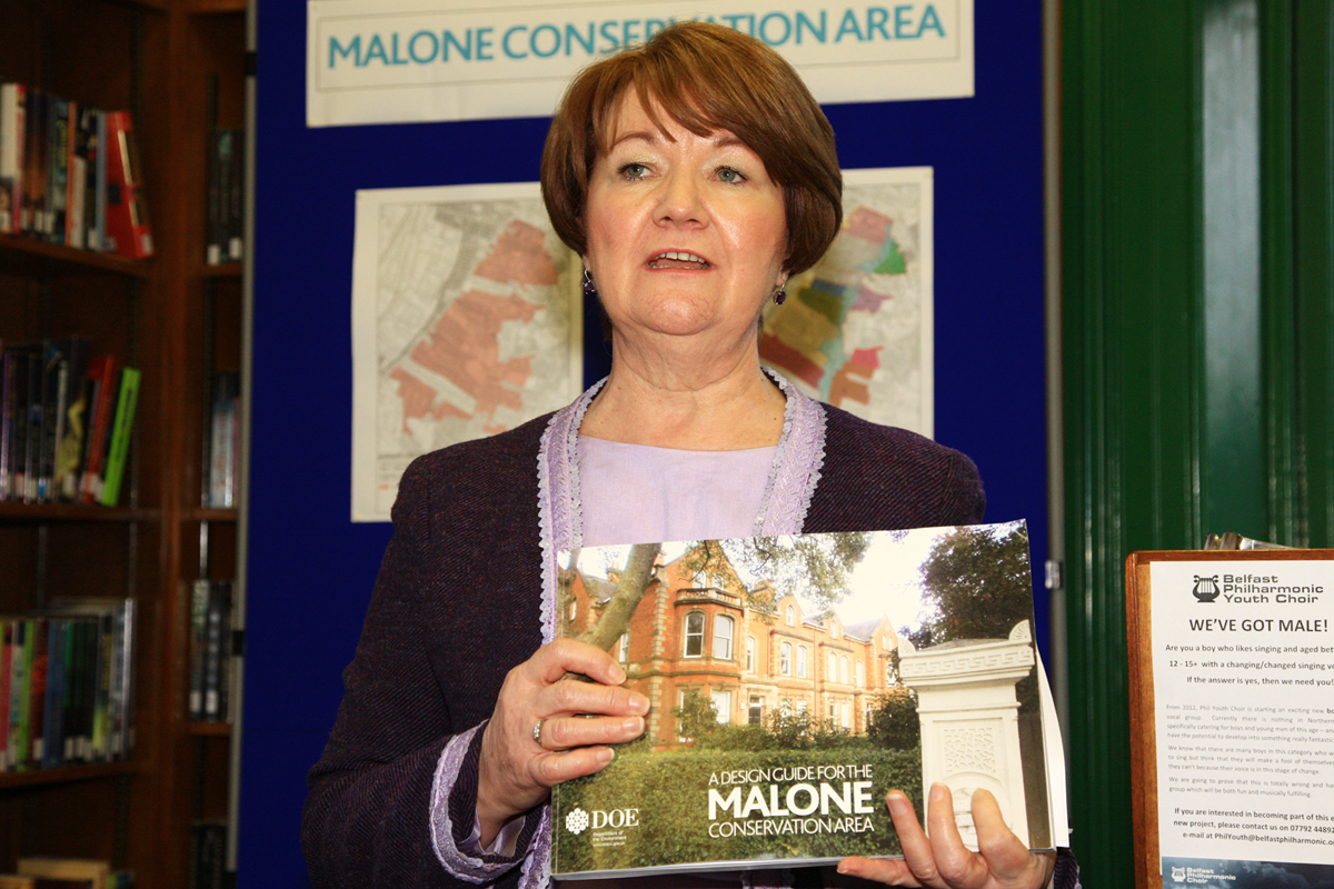
The launch of a design guide for a South Belfast conservation area marks a “step change” in the approach of the Planning Service to protecting architectural and historic character here, according to planners.
Speaking at the release of the Malone Conservation Area Design Guide last Friday (December 16) representatives of the Planning Service told members of the community and politicians that the unveiling was the latest stage in an attempt to “manage the change and evolution” of the Malone area.

The new design guide sees 13 sub-areas designated, stretching from the Lisburn Road to Broomhill and Deramore, and from Wellesley Avenue to Balmoral. They will each be granted their own identity, based on the unique setting of each area.
It means each area will have its landscape statutorily safeguarded due to its “positive contribution” to the conservation area. The retention of “historic fabric” will also be promoted, with “appropriate materials and historic construction methods” being used for any repairs and alterations to existing buildings.
Danesfort, Queen’s Elms and the grounds of Stranmillis College have been excluded from the design guide.
Neil Dunlop, divisional planning manager with the Planning Service, told attendees at the launch at Lisburn Road Library that the guide would be a “great benefit” when contemplating future planning decisions.
“We are doing this guide to help the development of the area. It will be of great benefit for us who will be making regular decisions in the future, to make sure this attractive area is enhanced in future.
“This guide has emerged after a very comprehensive review of the area. The review leading up to it was very inclusive and we spoke not only with Belfast City Council and the Historical Buildings Society but also local residents and other people who have an interest in the Malone area.”
When questioned by members of the audience, Anne Garvey, deputy secretary of the Department of the Environment’s planning in local government group, admitted the guide would be forefront in planners’ minds when deciding on future applications.
“This makes the information we use very clear. This marks a step change for the Planning Service because we now have something sitting in front of us that makes it clear what can and can’t be done.
“The detail in this guide makes the information we have now very solid. It is the first time we have had a detailed assessment for this area so we can take forward decisions much more easily.
“We can now say to developers this is what we expect and you need to match that in order to put in new developments into this area. We will be looking at everything now with this guide in mind.”


